Guadalupe Line
↔ SM City Cebu
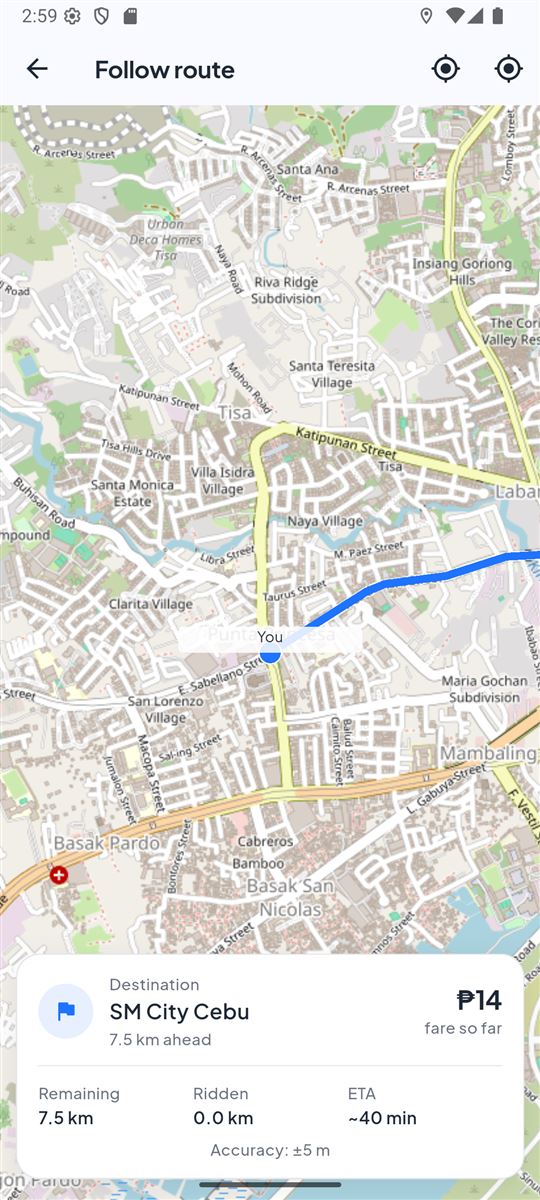
Board along the corridor, follow the selected path and know how far remains to the destination terminal.
Find classic routes, understand fares, and follow your ride in real time — all without wondering where your trip goes next.
Android build is not publicly posted yet.
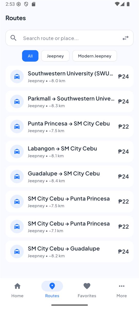
Route catalog
Start with two familiar corridors and expand as the route catalog is verified.
Board along the corridor, follow the selected path and know how far remains to the destination terminal.
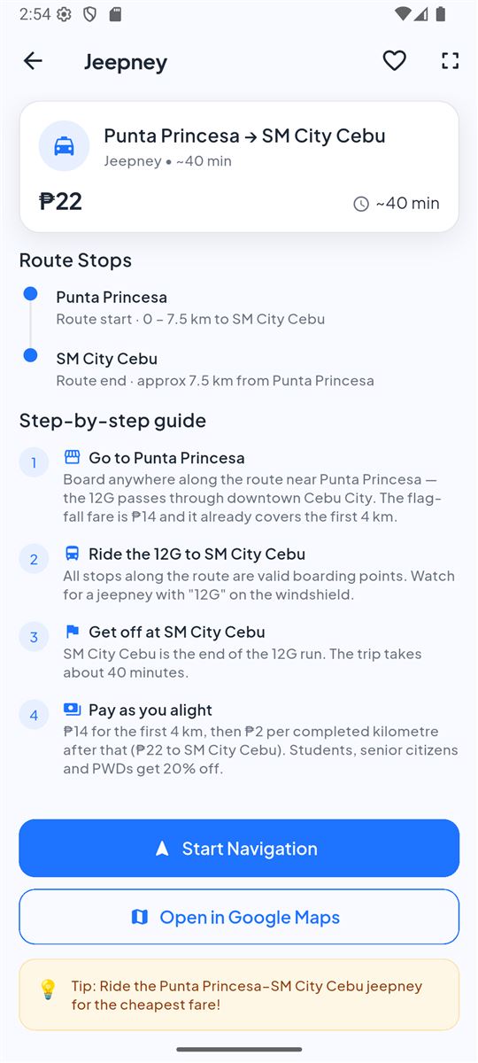
Trace the full corridor from Punta Princesa through central Cebu toward SM City, with live progress and fare guidance.
How CebuRide helps
Open the app, choose a mapped route and follow the vehicle’s progress continuously. It is built for the way commuters actually use jeepneys in Cebu.
Built for commuters
A local route companion designed around the everyday commute — not another generic map.
See the actual corridor, marked stops and destination clearly—without relying on word of mouth.
Follow how far along the route the jeepney is, with progress and ETA updating as you ride.
View the estimated fare for the route and understand which distances are already included in the flag fare.
Need the next bend? Follow the selected route continuously and see where it ends.
Each route exposes useful stops, corridors, fare and progress information in one place.
Built for Android, with responsive maps and route details optimized for in-motion use.
See the app
Free for Android
Download CebuRide and keep route, fare and commute progress in your pocket.